Areas of Activity
Field topography
- Geodetic and topographic networks
- Photogrammetric Supports
- Topographic surveys of detail
- Stakeouts and Profiles
- Inventories
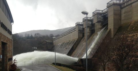
- Bathymetries
Mapping
- Generation of Digital Cartography by stereoscopic methods from different sources of capture:
- Photogrammetric flights with metric camera
- UAV photogrammetric flights
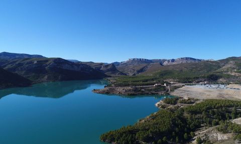
- Satellite images
- Airborne LiDAR
- Earth LiDAR (Mobile Mapping)
- Orthophotomaps
- Development and Consulting of GIS solutions
Construction topography
- Equipment for Work and Technical Assistance
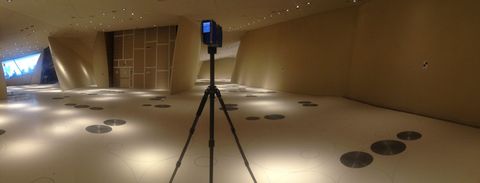
- 3D Surveys with LaserScanner for reception of work.
- Topography for start-ups
- Topographic auscultation